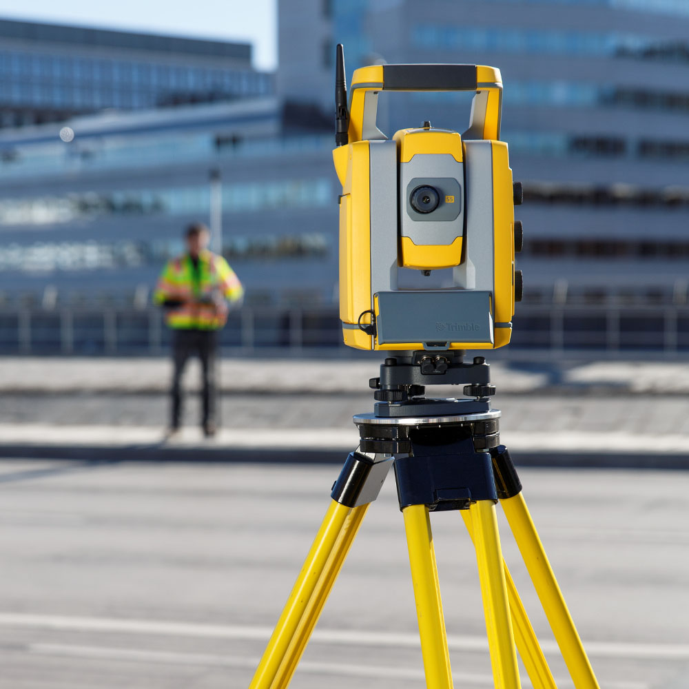
Geospatial & Measured Building Surveyors
Our Expertise
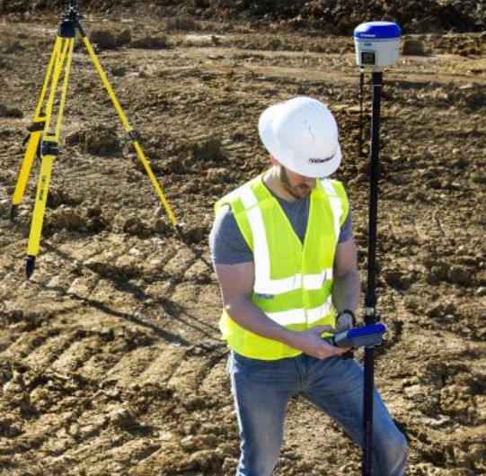
Topographical Surveys
We use either GPS, total station or drone pending project requirements to produce high quality detailed survey drawings.
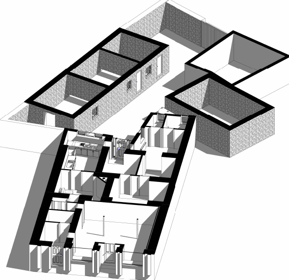
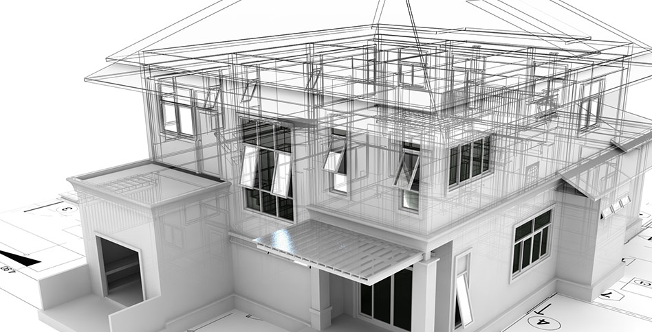
Measured Building Surveys & BIM modelling
We specialise in working with Architects/Engineers to create accurate measured building surveys in BIM/CAD formats and have many years experience working on small and larger commercial projects
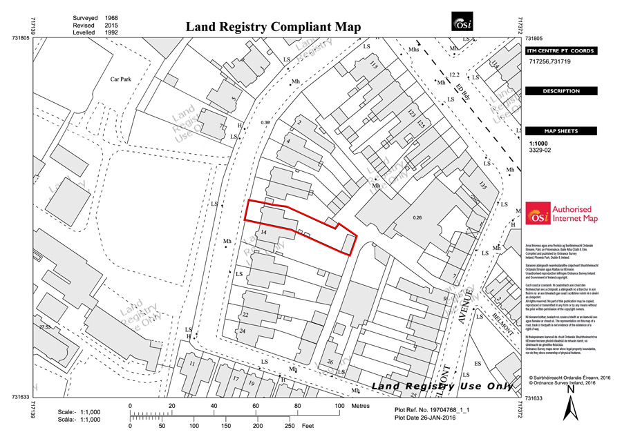
Land registry & Boundary location
Certified land registry compliant maps and boundary location service using high accuracy surveying GPS.

Our Core Values
We pride ourselves in the timely production of high quality detailed survey drawings at competitive prices.
get in Touch
Get in touch today to discuss your survey or request a free quote
