Services
Topographical Surveys
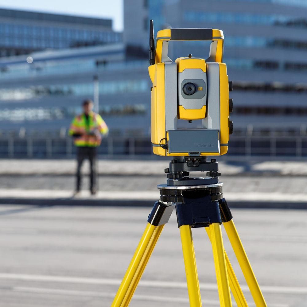
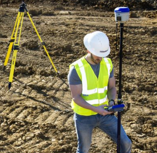
Planning Applications start with a a survey of the existing site, encompassing site levels, existing natural and manmade features on site, boundaries, heights of adjacent buildings, services and road survey for sight distances. We carry out these surveys for Architect firms across Ireland. We also carry out surveys for other projects such as windfarms, commercial, local authority etc. Sample survey drawings are available on request.
Measured Building Surveys
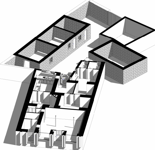
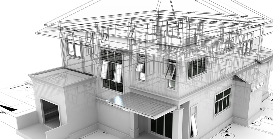
Extending or remodelling a building starts with the production of as-built drawings of the existing building. We carry out these surveys and produce high accuracy drawings in CAD or Building Information Models (BIM). We have extensive experience on small to large projects in domestic, commercial and Industrial sectors
Land registry Mapping
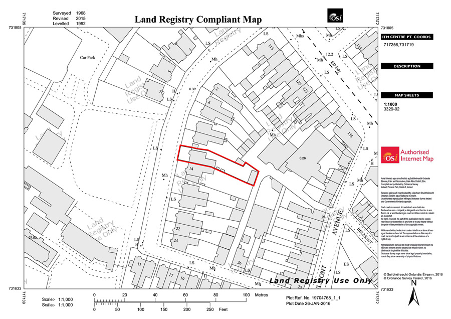
The production of our land registry maps involves a site visit to accurately survey the boundary, comparison with adjacent folios and outlining and certifying on land registry compliant maps.
Boundary Location service
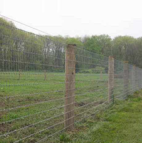
If you have a folio number and need a boundary location marked/checked on the ground we can liase with the Property Registration Authority (PRAI) to procure ITM coordinates for use with precision GPS to locate your boundary accurately on the ground.
get in Touch
Get in touch today to discuss your survey or request a free quote
